Research into the archaeology of the Dargo High Plains of eastern Victoria identified numerous historical and Aboriginal sites across a large study area of 85,725 hectares. This area encompasses varied terrain, altitudes and environmental conditions. The distribution and nature of identified sites indicate how factors such as the seasonal availability of foodstuffs (such as Bogong moths) and the presence of minerals influenced patterns of human occupation and resource utilisation from the late Pleistocene (approx. 15,000-20,000 BP) until the Gold Rush era of recent history.
Clark, V, Flemming, K, Filihia, M and Oataway, K 2015. Dargo Region Mineral Exploration Licences EL 5495 and 5422. CHMP 13299. Report to One Corporation Pty Ltd.
Filihia, M. 2015. Dargo Region Mineral Exploration Licences EL 5495 and 5422. Historical Report. HV# 4590. Report to One Corporation Pty Ltd.
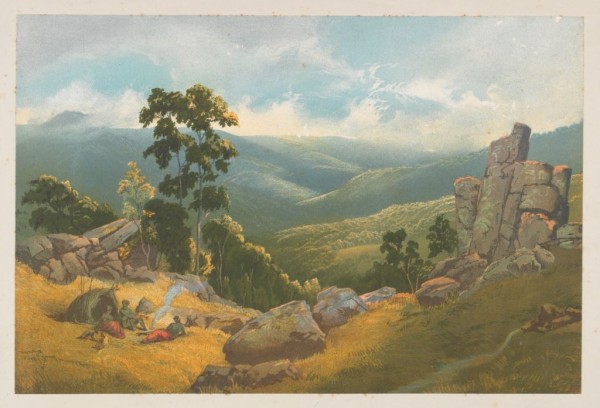
Dargo Valley Gippsland, Nicholas Chevalier, Printed by C. Troedel, 1865 (State Library of Victoria)