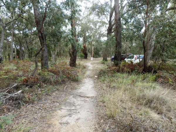
Safety improvement works along a 3km long section of Gisborne-Melton Road, Gisborne, led to an archaeological investigation which resulted in the recording of two artefact scatters. Ground survey and test excavations recorded more than a hundred lithic artefacts of diverse materials (silcrete, quartz, quartzite, chert, tachylyte and basalt). Despite the very narrow corridor formed by the investigation area, which had also been subject to disturbance from road building, Aboriginal cultural material was still identified. This was concentrated to the western side of the road reserve which contained more native vegetation and is adjacent to the Pyrete Ranges where artefacts scatters have been recorded on walking tracks along ridgelines and gullies.
| Project Manager: | Jasmine Scibilia |
| Project Type: | Cultural Heritage Management Plan |
| Activity: | Road safety improvement works |
| Client: | VicRoads |
| Date: | January – August 2014 |
Reference:
Scibilia, J. & H. Kiddell, 2014. Gisborne-Melton Road Ch. 4.0km – 7.2km Road Safety Improvement Works, CHMP 12883. Report prepared for VicRoads.